
.svg)
The Best Choice for Developing Moving Map Displays
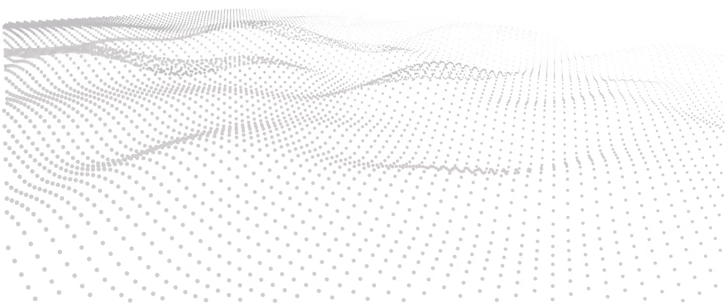
.svg)


Develop Moving Maps with Ease
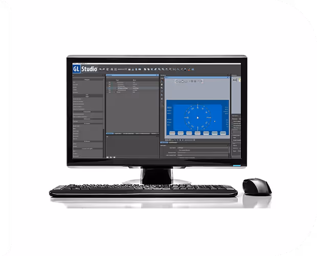
DiSTI’s GL Studio Map Toolkit is the leading solution for developers who want to create dynamic, real-time moving map displays within their desktop applications. Designed as a powerful plug-in for the GL Studio editor, the Map Toolkit combines ease of use, extensive format support, and advanced customization options, making it the superior choice for moving map development.
Unlike competing products, GL Studio Map Toolkit provides unparalleled flexibility, allowing developers to seamlessly integrate various map imagery formats and symbology layers, to create highly responsive, and visually compelling 2D map views.

Designed For Developers
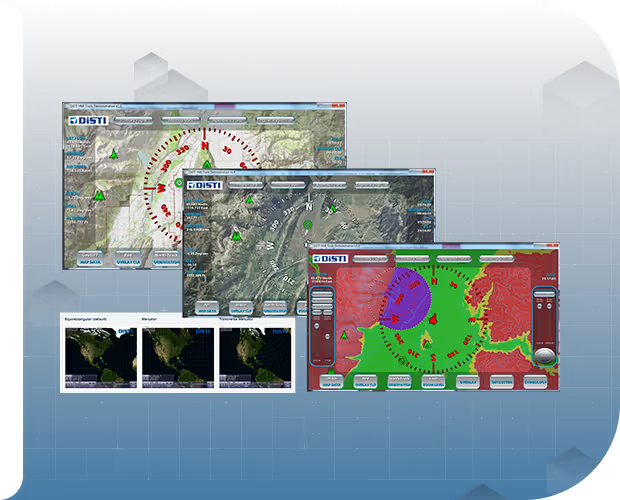
The DiSTI Map Toolkit simplifies the development process for real-time moving map displays. It enables users to:
- Combine multiple geo-referenced map imagery formats such as DTED, GeoTIFF, CADRG, DNC, AIF (JPEG, PNG, TIFF), and GL Studio Objects.
- Easily overlay custom symbols and paths with out-of-the-box or customizable options.
- Quickly integrate map displays into existing GL Studio projects with minimal setup.
Extensive Map Data Format Support
With its extendable architecture, the DiSTI Map Toolkit supports multiple map formats and symbology, including:
- DTED
- GeoTIFF
- CADRG
- DNC
- AIF (JPEG, PNG, TIFF, etc.)
- Shapefile
- GL Studio Objects
- Paths and Waypoints
- Map Projections (Equirectangular, Mercator, or Transverse Mercator projection)
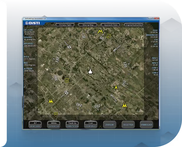
Superior Features and Functionality
The DiSTI Map Toolkit offers a comprehensive set of features that outshine its competitors, including:
- Hardware-Supported Map Rendering: Ensures smooth, high-performance map displays.
- Pan, Rotate, and Zoom Capabilities: Easily navigate your maps in real-time.
- Auto-Resolution Adjustment Based on Altitude: Optimizes map clarity as your perspective changes.
- Visibility Culling of Symbology: Ensures only relevant data is displayed, enhancing performance.
- Dynamic Paging of Map Imagery: Efficiently manages large datasets for real-time applications.
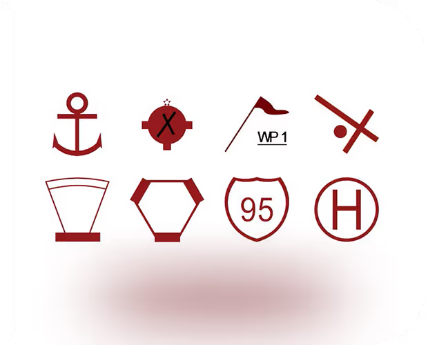
Advanced Symbology Integration
The toolkit allows developers to overlay a wide range of user-defined symbology, including:
- Standard Aviation Symbols: Over 40 pre-defined symbols, including full HSI and quarter HSI.
- MILSTD 2525B Symbols: Includes 4 affiliations, 12 echelons, and 113 unit symbols for military applications.
DiSTI Arbitrary Image Format
One standout feature of the Map Toolkit is its Arbitrary Image Format, which:
- Supports Geo-Referenced Map Imagery Layers: Allows users to insert layers from any standard image file format supported by GL Studio.
- Utilizes XML Schema: Defines geo-referenced images for seamless integration into your map displays
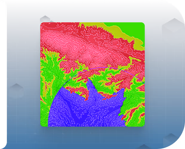
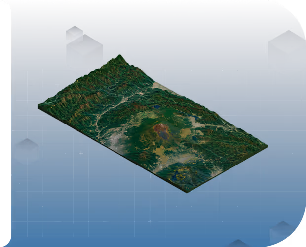
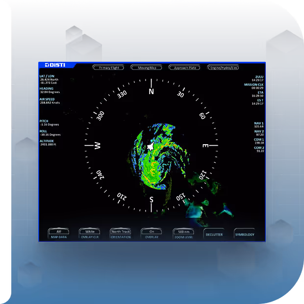
Elevation Data Integration
The toolkit supports DTED elevation data, allowing developers to incorporate advanced terrain mapping features, such as:
- Runtime Controllable “Moonscape” Shading: Enhances terrain visualization.
- Configurable Elevation Bands and Contour Lines: Provides detailed terrain information relative to your application’s altitude.
- Threat Rings with Line-of-Sight Shading: Adds advanced threat analysis capabilities to your maps.

Why DiSTI’s GL Studio Map Toolkit Outperforms Competitors
The DiSTI GL Studio Map Toolkit simplifies the development of moving map while offering unmatched flexibility, customization, and performance. Whether developing for aviation, defense, or any application requiring real-time, high-quality mapping, the DiSTI Map Toolkit provides the tools and support to ensure your project’s success. Its seamless integration with GL Studio, extensive format support, and advanced feature set make it the best choice for developers aiming to create superior moving map displays.
.avif)
Inquire about GL Studio® today
.svg)

.svg)
.svg)
